
GIS?
Geographical Information Science
This site uses various maps of Hawaii to illustrate the possibilities of Web GIS
The following maps tell a story about Hawaii through map applications which allows viewing and, with some applications, interaction with the maps. There are a total of 10 different maps, each utilizing JavaScripting to best present a variety of information. The project was done to satisfy requirements for my MS degree in GIS. Although a few of the applications may no longer work due to the original maps no longer existing on the Missouri State University GIS server, many are still in tact and present what is possible with GIS applications. There are three basic mapping services available: tiled maps in the form of images such as jpgs and pngs (fast loading and pre-made; limits to interaction with the Internet user), dynamic images (drawn on the fly and allow the user to participate to varying degrees with the display of the map), and feature services (which have servers that will download xml or JSON (JavaScript code files), rather than images). Querying is possible through Internet web services; a simple example is Google Maps.
© 2015 Thumbs Up Production.com


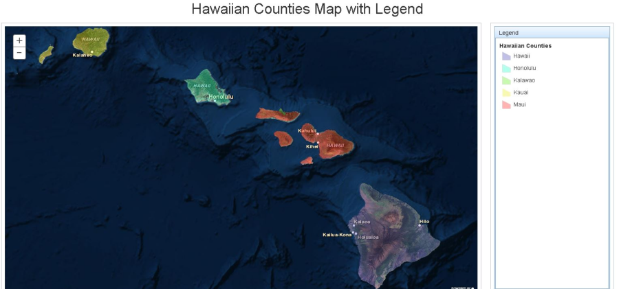
gis web
Shown here are images of two maps -- click on maps to enlarge
continue on to Toggle Layers
Please note: map display load up times throughout this site varies
dependent on user connection and GIS server connection times.
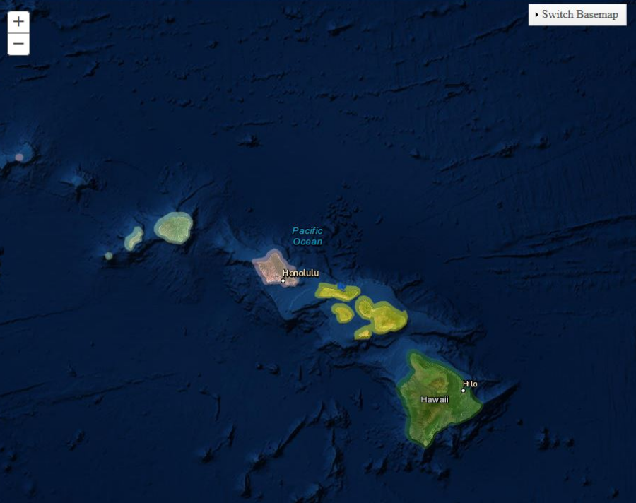
Switching Basemaps


